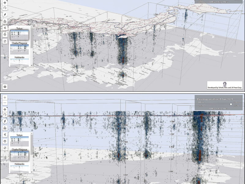
3D spatiotemporal mapping of COVID-19 is a new approach to epidemiology developed with the aid of AI, big data, and other digital technologies. Showing on a map the geographical links between infections over time, this technique is easy to understand and indicates the trends that resulted in the waves of COVID-19 infection spreading from large cities to provincial regions, for example. Hopes are also high for the potential offered by a case density forecasting app similar to the rain radars used in weather forecasting.
